


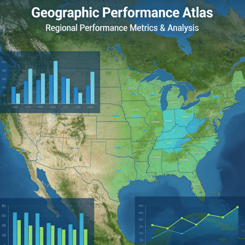

A visualization and analysis tool that integrates sales data with geographic information. Upon importing order addresses and performance metrics, the system automatically generates a GIS map featuring regional heatmaps, channel penetration distributions, and logistics transit time comparisons. Deliverables include a Tableau map workbook and a database containing matched latitude and longitude coordinates.
The tool comes pre-loaded with administrative boundary data—specifically Europe’s NUTS Level 3 regions and U.S. state/county lines—enabling performance comparisons segmented by sales team territories. It is ideal for Regional Sales Directors seeking to optimize market resource allocation.
This website uses cookies to improve your experience.
By using this website you agree to our Privacy Policy.